Skip to content

Long-distance trail

Rothaarsteig

About 157 km through the Sauerland, from Brilon to Dillenburg.

Total distance
about 157 km

Stages

Start Finish

Marktplatz Brilon → Wanderparkplatz Bruchhausen

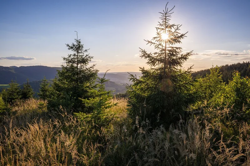
The section of the Rothaarsteig Trail from Brilon to Bruchhausen offers hikers a multifaceted experience of nature and culture. Starting from Brilon’s historic market square—the official starting point of this section—the route is consistently marked with a horizontal “R” on a red background. Flexible entry points—such as at Olsberg-Touristik, in the center of Elleringhausen, and in Brilon-Wald—allow hikers to customize their route. Along the way, the mysterious ruins of the Borberg churchyard reveal themselves, bearing witness to the region’s long history. The “Meiler, Wälle, Wüstungen” themed trail complements this exploration with cultural-historical sites that offer deep insights into past ways of life and work. A striking landmark is the “Fire Oak,” visible from afar, whose metal band forms a symbolic flame and blends impressively into the natural backdrop. At the Ginsterkopf, hikers are greeted by a sweeping 360-degree panorama. From this elevated vantage point, a comprehensive view opens up over the characteristic low-mountain landscape, shaped by gentle ridges and dense forests. The atmosphere of the Rothaarsteig varies with the light of the day and the specific characteristics of the seasons—from springtime freshness to the vibrant colors of autumn—and always reveals its own unique character. This stage represents a successful blend of nature-based relaxation and cultural discovery that authentically conveys the essence of the Hochsauerland region.

17.7 km approx. 5:45 h Point-to-point Hiking
View details
Ascent
470 m
Descent
487 m
Highest point
657 m
Lowest point
431 m
Elevation profile
600 m 800 m
5.8 km 9.4 km 13 km 0 km 17 km

Elevation profile calculated by Fairvisit from satellite elevation data. Ascent and descent usually differ by up to about 10 %, more on steep terrain.
Source: Brilon Olsberg GmbH (Geschäftsstelle Brilon) · Public Domain Open route description (external link)

Olsberg Bruchhausen → Winterberg Niedersfeld

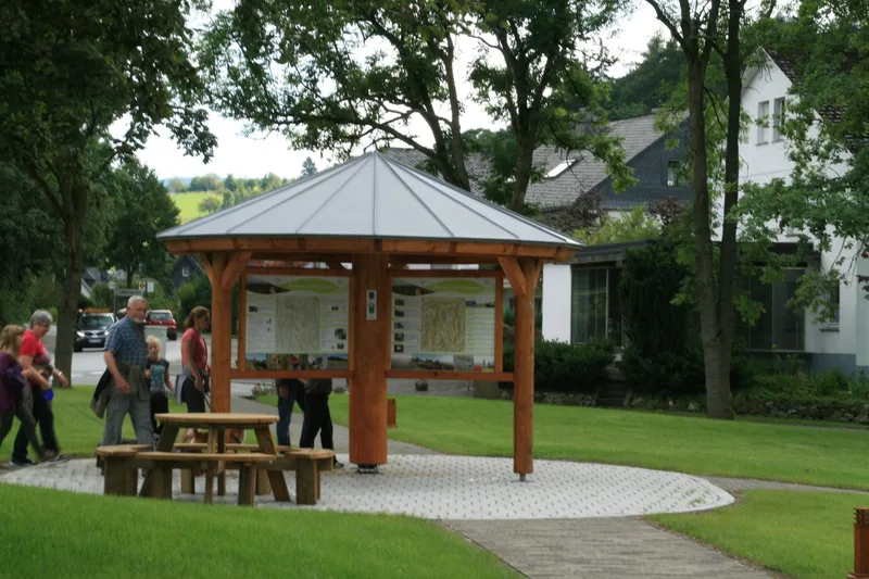
The Rothaarsteig stage from Bruchhausen to Niedersfeld begins at the hiking parking lot at the entrance to the renowned “Europa-Golddorf” (European Gold Village) of Bruchhausen. The trailhead for this long-distance hiking route first leads through the center of the village, past the Rosencafé, and climbs moderately until it reaches the upper edge of the forest, where the Rothaarsteig route begins. Designated as a “Wanderbares Deutschland” quality trail, the path is excellently signposted throughout and leads steadily uphill toward Langenberg and Winterberg, above the village, to the historic execution site. After a planned rest stop, hikers tackle the further ascent to Langenberg, the highest peak in North Rhine-Westphalia. A striking rest stop with a summit cross on Langenberg offers a charming spot to take a break. The route then continues through the characteristic high heathland and finally ends at the Hochheidehütte, above Niedersfeld. From there, the clearly marked trails provide an easy descent to the center of Niedersfeld, where reliable public transportation connections are available. This stage is characterized by its varied topography and the impressive natural landscape of the Hochsauerland district.

12.4 km approx. 4:15 h Point-to-point Hiking
View details
Ascent
458 m
Descent
382 m
Highest point
848 m
Elevation profile
600 m 800 m
8.5 km 0 km 12 km

Elevation profile calculated by Fairvisit from satellite elevation data. Ascent and descent usually differ by up to about 10 %, more on steep terrain.

Source: Brilon Olsberg GmbH (Geschäftsstelle Brilon) · Public Domain Open route description (external link)

Elevation data

produced using Copernicus WorldDEM-30 © DLR e.V. 2010-2014 and © Airbus Defence and Space GmbH 2014-2018 provided under COPERNICUS by the European Union and ESA; all rights reserved

The organisations in charge of the Copernicus programme by law or by delegation do not incur any liability for any use of the Copernicus WorldDEM-30.

Saved