Skip to content

Long-distance trail

Moselsteig

About 365 km from Perl on the Luxembourg border to Koblenz, 24 stages along the Moselle.

Stages
24
Total distance
about 365 km

The map shows the whole trail. So far 23 of the 24 stages are described individually; the trail operator has not published the others openly.

Stages

Start Finish

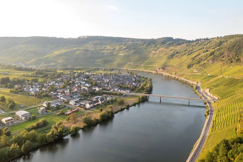
Perl → Palzem

Stage 1

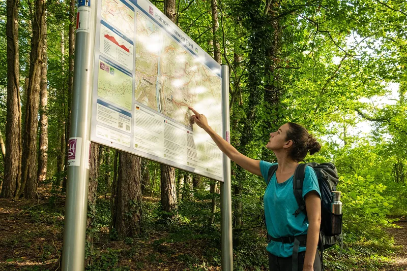
On the way in the best neighborhood.

23.7 km approx. 7:15 h Point-to-point Hiking
View details
Ascent
450 m
Descent
449 m
Elevation profile 144–369 m
200 m 400 m
369 m 5.1 km 289 m 10 km 299 m 17 km 0 km 24 km
Source: (c) Mosel. Faszination Urlaub / Mosellandtouristik GmbH · CC BY-SA 4.0 Open route description (external link)

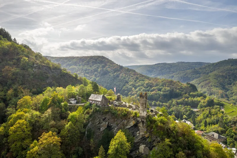
Source: Joanna Czyrny · CC BY 4.0
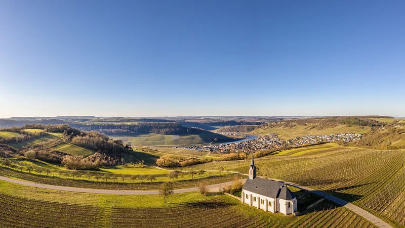
Stage 10

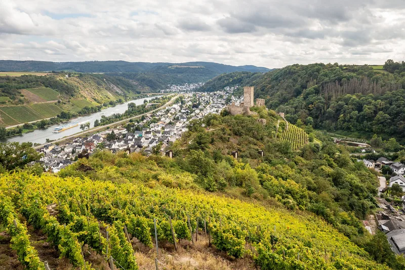
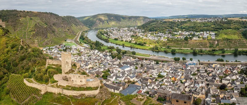
Through large vineyards into the Middle Ages.

14.7 km approx. 5:00 h Point-to-point Hiking
View details
Ascent
504 m
Descent
486 m
Elevation profile 108–298 m
200 m 400 m
108 m 5.7 km 298 m 12 km 0 km 15 km
Source: (c) Mosel. Faszination Urlaub / Mosellandtouristik GmbH · CC BY-SA 4.0 Open route description (external link)

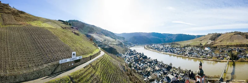
Stage 16

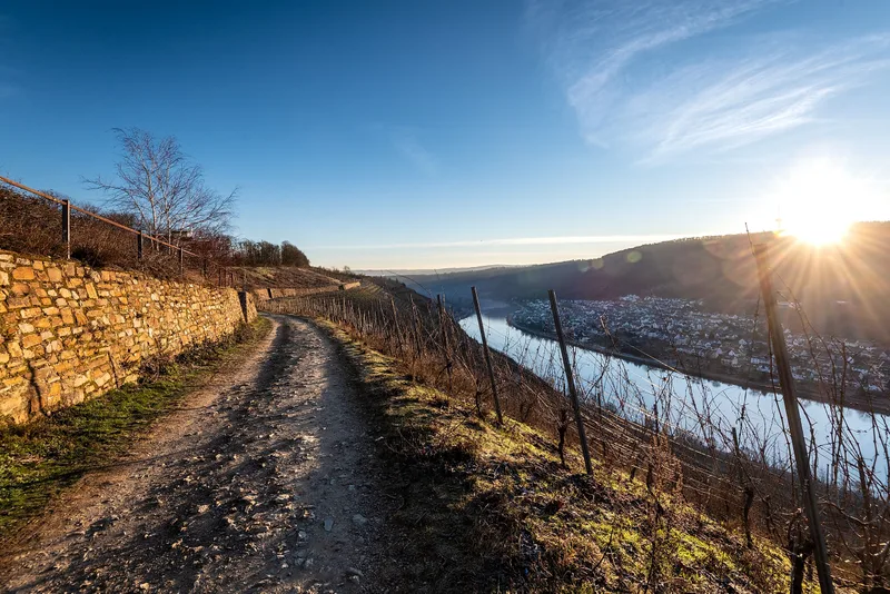
Through the steepest vineyards to the most beautiful views.

11.4 km approx. 4:00 h Point-to-point Hiking
View details
Ascent
455 m
Descent
468 m
Elevation profile 85–399 m
200 m 400 m
399 m 4.5 km 170 m 9.1 km 0 km 11 km
Source: (c) Mosel. Faszination Urlaub / Mosellandtouristik GmbH · CC BY-SA 4.0 Open route description (external link)
Saved