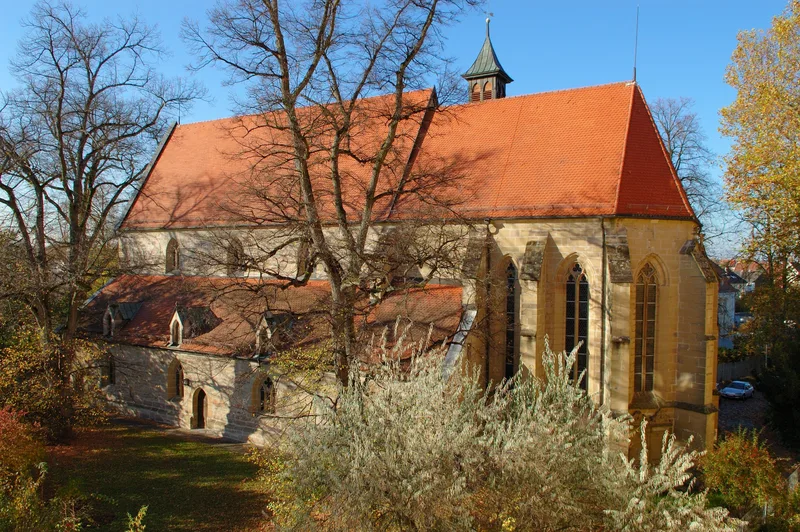
Way of St. James – Stage Winnenden – Esslingen am Neckar
From Winnenden
Experience fantastic views and beautiful forest and vineyard landscapes! From Winnenden, the pilgrimage route leads via Hanweiler and the Hanweiler Sattel through a varied forest and vineyard landscape along the Korber mountain range. Here, pilgrims can enjoy fantastic views of the lower Remstal valley all the way to Stuttgart. Via Korb-Kleinheppach, the route continues to Weinstadt-Endersbach. If you are looking for a place of contemplation, it is worth making a detour to the Korber Bible Garden, while art lovers will enjoy a detour to the "Köpfe am Korber Kopf" sculpture trail. After a long break with a tasty meal made from regional ingredients and a good Remstal wine, the route continues from Endersbach towards Kernen-Stetten. Pilgrims can get a pilgrim's stamp at the local Protestant church. It is also worth taking a break in the park of the former Stetten Castle (now a building belonging to the Stetten Diakonie) or in the museum vineyard below Yburg Castle.
The trail leads through the Schurwald forest from Stetten for just under eight kilometers to Esslingen, the end of this section of the Way of St. James. From Esslingen, the Way of St. James continues via Denkendorf and Tübingen to Rottenburg. From there, a marked trail leads to Horb and through the Kinzig Valley to France.
Length
20.8 km
Walking time
approx. 6:15 h
Ascent
413 m
Descent
450 m
Walking time as stated by the operator.
Elevation profile
300 m400 m
4.2 km8.4 km0 km21 km
Elevation profile calculated by Fairvisit from satellite elevation data. Ascent and descent usually differ by up to about 10 %, more on steep terrain.
Start
Coordinates48.87241, 9.39652
Winnenden
Along the way
Finish
Coordinates48.74219, 9.30554
Nearby
Image rights: SWT · CC BY-SA 4.0
Saved
Fairvisit teamOffline
Hi there!
A question or some feedback? Drop us a line – we'd love to hear from you.
We're offline right now.
Leave us a message and we'll get back to you by email:
Thanks! We've got your message and will reply by email.