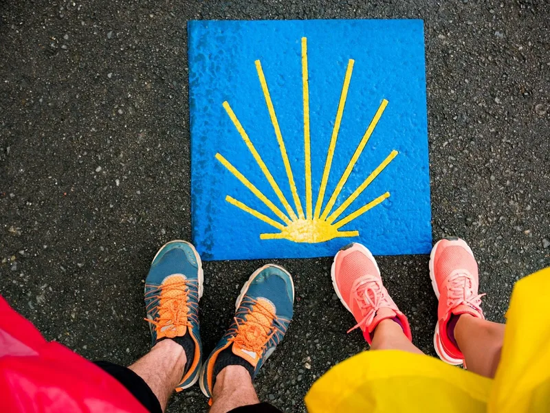
Experience the pilgrimage on shady forest paths and steep climbs to the heights of the Swabian Forest! Starting point: Murrhardt, DB train station The second stage of the pilgrimage from Murrhardt to Winnenden begins on shady forest paths, initially with a steep climb from the Murr Valley back to the heights of the Swabian Forest. The hiking lodge in the Sulzbach district of Eschelhof, located in a forest clearing, is a great place to take your first break, complete with barbecue and playground. From here, the Way of St. James continues to Oppenweiler, past the octagonal moated castle of von Sturmfeder (now the town hall), through the adjoining park to St. James' Church, a pilgrimage station. Via Aichelbach, the route leads through the Backnanger Plattenwald forest via Steinbach and Unterweissach to Allmersbach im Tal. From here, the Way of St. James leads out of the "Backnanger Bucht" bay and steeply uphill again, back to the heights of the Swabian Forest and the Buocher Höhe. From Bürg in particular, there is an excellent view of the Stuttgart basin and beyond.
Here begins the descent through the vineyards down to Winnenden with its pilgrim landmark, the famous St. James altar in the castle church of Winnental Castle. The altar has been a European cultural heritage site since 1981 and reminds us that Winnenden was already an important stop on the Way of St. James in the Middle Ages.
Length
29.9 km
Walking time
approx. 8:45 h
Ascent
522 m
Descent
520 m
Walking time as stated by the operator.
Elevation profile
300 m400 m500 m
6.8 km15 km24 km0 km30 km
Elevation profile calculated by Fairvisit from satellite elevation data. Ascent and descent usually differ by up to about 10 %, more on steep terrain.
Start
Coordinates48.97953, 9.57859
Murrhardt
Nearby
Along the way
Finish
Coordinates48.87508, 9.39859
Nearby
Image rights: CC BY-SA 4.0
Saved
Fairvisit teamOffline
Hi there!
A question or some feedback? Drop us a line – we'd love to hear from you.
We're offline right now.
Leave us a message and we'll get back to you by email:
Thanks! We've got your message and will reply by email.