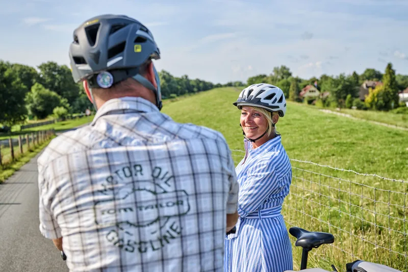
This very special and popular long-distance cycle route runs for almost 500 kilometers along the Weser. From Hannoversch Münden to the mouth of the North Sea, the long-distance cycle route leads along a diverse and fascinating river landscape. Experience castles, palaces, dreamy half-timbered towns and harbors as well as fairytale and legendary figures.
In the Wesermarsch region, cyclists can ride the Weser Cycle Path between Lemwerder and Eckwarderhörne. Enjoy the tour along black and white cows, bleating lambs and beautiful nature!
SUMMARY
Length: approx. 500 kilometers
Route: Hannoversch Münden - Bad Karlshafen - Beverungen - Höxter - Holzminden - Bodenwerder - Hameln - Rinteln - Porta Westfalica - Minden - Petershagen - Stolzenau - Nienburg (Weser) - Verden (Aller) - Bremen - Elsfleth - Brake - Stadland - Nordenham - Bremerhaven - Cuxhaven
Route through the Wesermarsch: Lemwerder - Elsfleth - Brake - Stadland - Nordenham - Eckwarderhörne
**Course and places of interest Stage 7 (approx. 80 km):**
From Bremen, the route leads into the Wesermarsch. The landscape is characterized by cows, sheep, pastureland and half-timbered houses. Many shipyards, ships and old cutters await you on the stretch from Lemwerder to Elsfleth. Where once traditional ships were built, today huge luxury yachts are built for the whole world. In Elsfleth, the route crosses the Hunte Bridge or the Elsflether Sand. At the quay in Elsfleth, the route leads past the sailing training ship "Lissi". Further north in the town of Brake (Unterweser), you can take a crossing on the "Guntsiet" to Harriersand or visit the Unterweser Maritime Museum.
From Rodenkirchen to Nordenham, the route leads along the dyke against a beautiful backdrop. A detour to Nordenham town center is recommended here. From the district of Blexen, you can take the ferry to the other side of the Weser by bike or choose the alternative route via the Butjadingen peninsula to Eckwarderhörne.
Length
72.6 km
Walking time
approx. 18:15 h
Ascent
16 m
Descent
17 m
Walking time without breaks, calculated from length and elevation using the hiking standard DIN 33466 (per hour: 4 km, 300 m uphill, 500 m downhill).
Elevation profile
10 m
20 km34 km51 km0 km72 km
Elevation profile calculated by Fairvisit from satellite elevation data. Ascent and descent usually differ by up to about 10 %, more on steep terrain.
Start and finish
Coordinates53.08548, 8.75258
Bremen
Along the way
Image rights: (c)floriantrykowski.de, Florian Trykowski · CC BY 4.0
Image rights: Weserbergland Tourismus e.V. · CC BY-SA 4.0
Saved
Fairvisit teamOffline
Hi there!
A question or some feedback? Drop us a line – we'd love to hear from you.
We're offline right now.
Leave us a message and we'll get back to you by email:
Thanks! We've got your message and will reply by email.