Rothaarsteig - Stage from Brilon to Bruchhausen
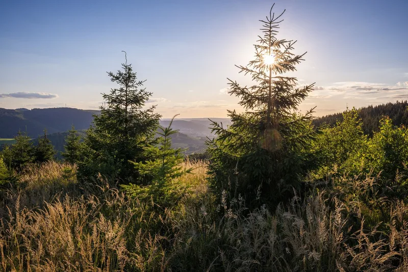
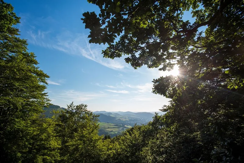
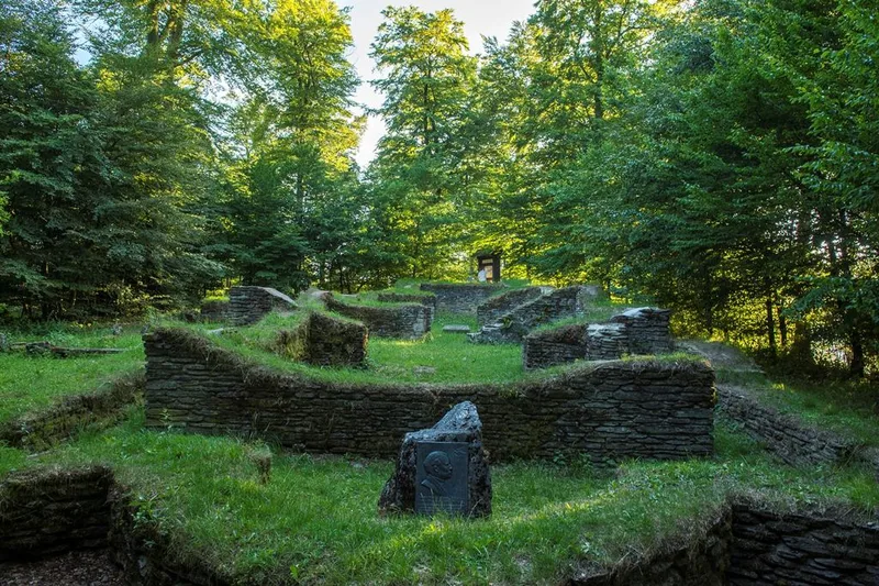
The section of the Rothaarsteig Trail from Brilon to Bruchhausen offers hikers a multifaceted experience of nature and culture. Starting from Brilon’s historic market square—the official starting point of this section—the route is consistently marked with a horizontal “R” on a red background. Flexible entry points—such as at Olsberg-Touristik, in the center of Elleringhausen, and in Brilon-Wald—allow hikers to customize their route. Along the way, the mysterious ruins of the Borberg churchyard reveal themselves, bearing witness to the region’s long history. The “Meiler, Wälle, Wüstungen” themed trail complements this exploration with cultural-historical sites that offer deep insights into past ways of life and work. A striking landmark is the “Fire Oak,” visible from afar, whose metal band forms a symbolic flame and blends impressively into the natural backdrop. At the Ginsterkopf, hikers are greeted by a sweeping 360-degree panorama. From this elevated vantage point, a comprehensive view opens up over the characteristic low-mountain landscape, shaped by gentle ridges and dense forests. The atmosphere of the Rothaarsteig varies with the light of the day and the specific characteristics of the seasons—from springtime freshness to the vibrant colors of autumn—and always reveals its own unique character. This stage represents a successful blend of nature-based relaxation and cultural discovery that authentically conveys the essence of the Hochsauerland region.
- Length
- 17.7 km
- Walking time
- approx. 5:45 h
- Ascent
- 470 m
- Descent
- 487 m
Walking time as stated by the operator.
Elevation profile calculated by Fairvisit from satellite elevation data. Ascent and descent usually differ by up to about 10 %, more on steep terrain.
Start
Marktplatz Brilon
Nearby
Along the way
Finish
Wanderparkplatz Bruchhausen
Nearby