Rothaarsteig Stage from Bruchhausen to Niedersfeld
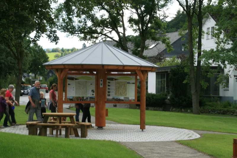
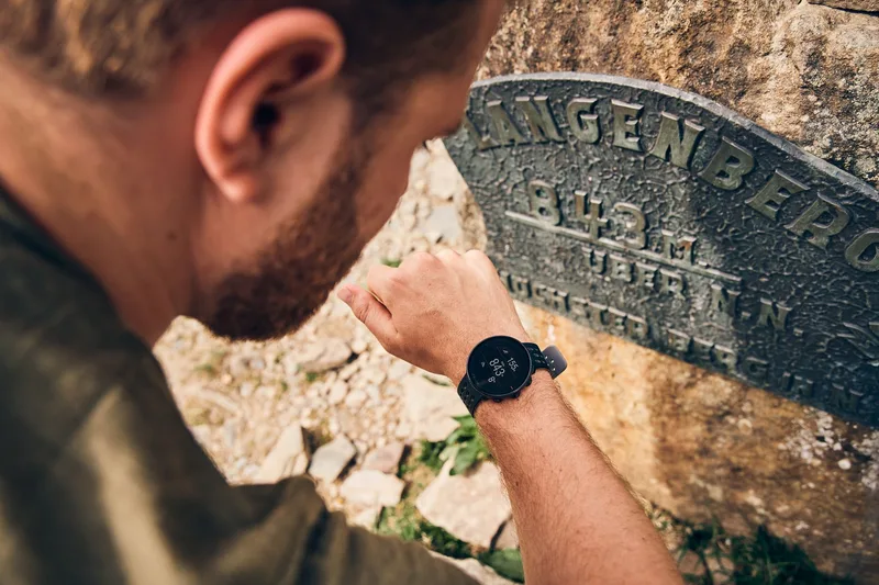
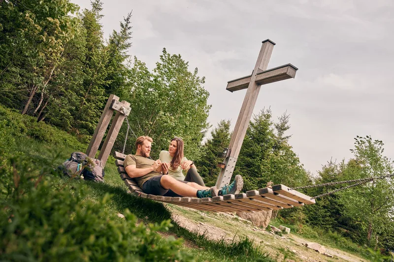
The Rothaarsteig stage from Bruchhausen to Niedersfeld begins at the hiking parking lot at the entrance to the renowned “Europa-Golddorf” (European Gold Village) of Bruchhausen. The trailhead for this long-distance hiking route first leads through the center of the village, past the Rosencafé, and climbs moderately until it reaches the upper edge of the forest, where the Rothaarsteig route begins. Designated as a “Wanderbares Deutschland” quality trail, the path is excellently signposted throughout and leads steadily uphill toward Langenberg and Winterberg, above the village, to the historic execution site. After a planned rest stop, hikers tackle the further ascent to Langenberg, the highest peak in North Rhine-Westphalia. A striking rest stop with a summit cross on Langenberg offers a charming spot to take a break. The route then continues through the characteristic high heathland and finally ends at the Hochheidehütte, above Niedersfeld. From there, the clearly marked trails provide an easy descent to the center of Niedersfeld, where reliable public transportation connections are available. This stage is characterized by its varied topography and the impressive natural landscape of the Hochsauerland district.
- Length
- 12.4 km
- Walking time
- approx. 4:15 h
- Ascent
- 458 m
- Descent
- 382 m
Walking time as stated by the operator.
Elevation profile calculated by Fairvisit from satellite elevation data. Ascent and descent usually differ by up to about 10 %, more on steep terrain.
Start
Olsberg Bruchhausen
Nearby
Along the way
Finish
Winterberg Niedersfeld
Nearby