Skip to content
Moselradweg

Moselradweg · Stage 8 of 10

Mosel Cycle Path Section 8: From Bullay to Cochem

Point-to-point

Meet Europe's steepest vineyard and the “sleeping beauty” of the Moselle.

Length
31.4 km
Walking time
approx. 8:15 h
Ascent
108 m
Descent
131 m

Walking time without breaks, calculated from length and elevation using the hiking standard DIN 33466 (per hour: 4 km, 300 m uphill, 500 m downhill).

Elevation profile 80–106 m
80 m 90 m 100 m
85 m 7.7 km 92 m 15 km 101 m 23 km 0 km 31 km

Start

Coordinates 50.04798, 7.13193

Along the way

Finish

Coordinates 50.14753, 7.16697

Nearby
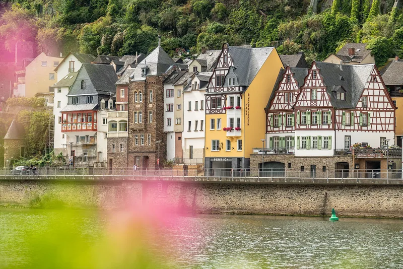
Mosel Cycle Path Section 8: From Bullay to Cochem
Image rights: https://creativecommons.org/licenses/by-sa/4.0/deed.de · CC BY-SA 4.0
Mosel Cycle Path Section 8: From Bullay to Cochem
Image rights: https://creativecommons.org/licenses/by-sa/4.0/deed.de · CC BY-SA 4.0
Mosel Cycle Path Section 8: From Bullay to Cochem
Image rights: https://creativecommons.org/licenses/by-sa/4.0/deed.de · CC BY-SA 4.0
Mosel Cycle Path Section 8: From Bullay to Cochem
Image rights: https://creativecommons.org/licenses/by-sa/4.0/deed.de · CC BY-SA 4.0
Mosel Cycle Path Section 8: From Bullay to Cochem
Image rights: https://creativecommons.org/licenses/by-sa/4.0/deed.de · CC BY-SA 4.0
Mosel Cycle Path Section 8: From Bullay to Cochem
Image rights: https://creativecommons.org/licenses/by-sa/4.0/deed.de · CC BY-SA 4.0
Mosel Cycle Path Section 8: From Bullay to Cochem
Image rights: https://creativecommons.org/licenses/by-sa/4.0/deed.de · CC BY-SA 4.0
Mosel Cycle Path Section 8: From Bullay to Cochem
Image rights: https://creativecommons.org/licenses/by-sa/4.0/deed.de · CC BY-SA 4.0
Saved