Skip to content

Camino de Santiago stage from Hornbach Monastery to Blieskastel (northern route)

Hornbach → Blieskastel
Length
14.5 km
Walking time
approx. 4:15 h
Ascent
210 m
Descent
222 m

Walking time without breaks, calculated from length and elevation using the hiking standard DIN 33466 (per hour: 4 km, 300 m uphill, 500 m downhill).

Elevation profile
250 m 300 m 350 m
5.4 km 9.9 km 0 km 14 km

Elevation profile calculated by Fairvisit from satellite elevation data. Ascent and descent usually differ by up to about 10 %, more on steep terrain.

Start

Coordinates 49.18587, 7.36975

Hornbach

Nearby

Along the way

Finish

Coordinates 49.23822, 7.25697

Blieskastel

Nearby
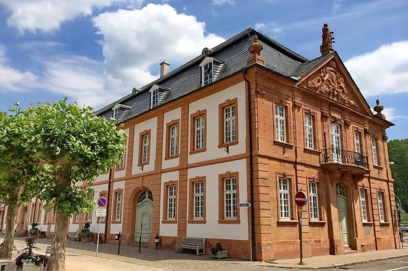
Camino de Santiago stage from Hornbach Monastery to Blieskastel (northern route)
Image rights: Saarpfalz-Touristik, Wolfgang Henn · CC BY 4.0
Camino de Santiago stage from Hornbach Monastery to Blieskastel (northern route)
Image rights: Manuela Meyer · CC BY 4.0
Camino de Santiago stage from Hornbach Monastery to Blieskastel (northern route)
Image rights: Saarpfalz-Touristik, Wolfgang Henn · CC BY 4.0
Camino de Santiago stage from Hornbach Monastery to Blieskastel (northern route)
Image rights: Saarpfalz-Touristik, Wolfgang Henn · CC BY 4.0

Check trail conditions and closures with the operator before you set off.

Source: Saarpfalz-Touristik · CC BY 4.0

Elevation data: produced using Copernicus WorldDEM-30 © DLR e.V. 2010-2014 and © Airbus Defence and Space GmbH 2014-2018 provided under COPERNICUS by the European Union and ESA; all rights reserved

The organisations in charge of the Copernicus programme by law or by delegation do not incur any liability for any use of the Copernicus WorldDEM-30.

Saved