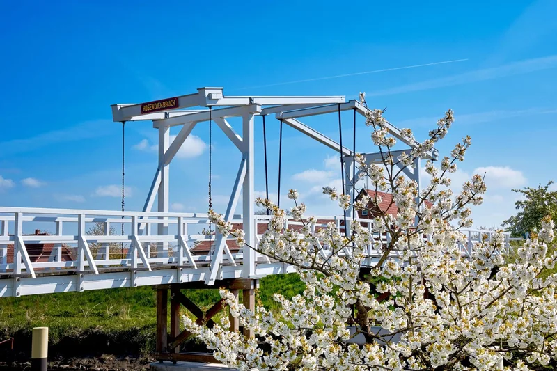
Elbe Cycle Route: Finkenwerder-Lühe section in the Altes Land holiday region on the Elbe River
Fähranleger Finkenwerder → Fährstraße Lühe
The 32 km tour runs from the ferry landing in Finkenwerder to the ferry landing in Lühe - ideal for a short bike ride along the Elbe and through the orchard region of Altes Land. The route can be cycled in both directions. It combines a stretch of Elbe scenery with the hinterland, the orchard region of Altes Land. From mid to late April, the region turns into a sea of white and pink blossoms; from late summer, the harvest of cherries, apples, pears, plums and many other fruits begins in the largest contiguous fruit-growing area in Northern Europe. Anyone interested in the history of the region should plan a stop at [Museum Altes Land](https://museum-altesland.jork.de/museen/museum-altes-land/) in Jork. Organ lovers can admire the original Arp Schnitger organ in Steinkirchen Church.
Length
30.8 km
Walking time
approx. 7:45 h
Ascent
15 m
Descent
15 m
Walking time without breaks, calculated from length and elevation using the hiking standard DIN 33466 (per hour: 4 km, 300 m uphill, 500 m downhill).
Elevation profile
10 m
12 km17 km0 km31 km
Elevation profile calculated by Fairvisit from satellite elevation data. Ascent and descent usually differ by up to about 10 %, more on steep terrain.
Start
Coordinates53.53624, 9.87860
Fähranleger Finkenwerder
Nearby
Along the way
Finish
Coordinates53.57130, 9.62857
Fährstraße Lühe
Image rights: Tourismusverband Landkreis Stade e.V., Urlaubsregion Altes Land am Elbstrom · CC0 1.0
Image rights: Tourismusverband Landkreis Stade e.V., Urlaubsregion Altes Land am Elbstrom · CC0 1.0
Image rights: Tourismusverband Landkreis Stade e.V., Urlaubsregion Altes Land am Elbstrom · CC0 1.0
Saved
Fairvisit teamOffline
Hi there!
A question or some feedback? Drop us a line – we'd love to hear from you.
We're offline right now.
Leave us a message and we'll get back to you by email:
Thanks! We've got your message and will reply by email.